Lianhuatan Big Loop
Hike easy trails in forested valleys, with one extended climb to Pigs Head Peak and a visit to the fabulous ‘One Ribbon of Sky’ boulder.
Lianhuatan Village is a small settlement on the southern edge of a basin in the line of mountains between Beijing city and Yanqing District.
The village sits in a flat area surrounded by fields, with the basin opening up in the north to the Guanting Plain.
Behind the village, to the south, are forested hills and valleys, with streams and trickles running down from the catchment of the higher mountains beyond.
On this visit we’re doing the ‘Big Loop’. (The Little Loop is an easier version.)

The hike
After driving out through the mountains we start the hike on the road that leads up to the village.
A little farm track takes us through the fields and down into a valley hidden amidst taller hills. We’ll walk a little way down the valley, and then take a turn to follow a stream up into a pine forest.
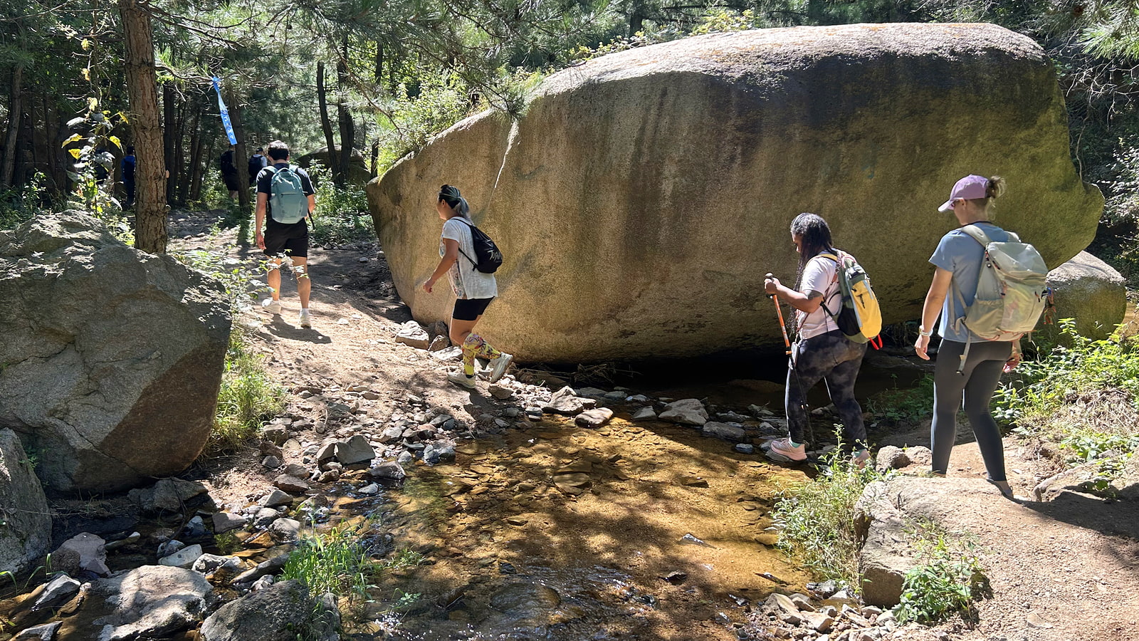
The pine forest is cool and shady, and a soft track through the trees makes the hiking easy.
After a quick hop up some rocks we’ll arrive at a camping area in the pine forest.
Several tracks branch out from the camping area. We’ll be taking the trail that leads up to Pig’s Head Peak, a collection of large boulders on one of the taller peaks in the area.
This is the only big climb of the hike. It starts off with a slow hike up a forested valley. At the head of the valley the trail gets steeper switch-backing up to a ridgeline full of boulders.

Just before getting to the top there are two trail options – an easier dirt track, or a scrambly track between and under boulders. (The boulders track is short but gets a bit tricky in a few places. Go for the dirt track if you’re not comfortable with some exposure to heights and wiggling through a little gap between two larger boulders.)
We’ll take a break by the boulders to admire the view, and then we’ll head down into a different valley.
In that valley we’ll be following an old trail beside a stream, passing old walls, terraces, and little huts that were used when the area was still inhabited.
Near the bottom of the valley we’ll take a turn and hike up to the ‘One Ribbon of Sky’ boulder.

The boulder is cracked down the middle, and when you’re in the middle of the cleft ‘one ribbon of sky’ is all you’ll see when you look up. It’s quite a sight! The gap between the two halves/pieces of the boulder is high – 4-5 metres, probably – but it is also skinny, with a width of 50-80cm for most of the path through.
We’ll hike up the steps to the observation deck, and then squeeze out through the gap in the rock.
To finish the hike we’ll follow a track down the valley a short way before looping around into that same valley we hiked down at the beginning of the hike. We’ll follow that valley all the way back to the start—an easy walk that’s mostly flat.